Water Temperature by Depth Estimator
Estimate temperature at a target depth from surface temperature, lake profile, clarity, seasonal stratification, wind mixing, and species comfort range.
📌Depth presets
⚙Temperature profile inputs
Depth temperature estimate
Formula breakdown
🌡Species temperature comparison
Bass
Walleye
Trout
Panfish
Catfish
Pike
Striper
Salmon
📊Reference tables
| Waterbody profile | Thermal behavior | Typical break | Deep cooling | Fishing note |
|---|---|---|---|---|
| Shallow pond | Often mixed | 4-8 ft / 1.2-2.4 m | Low | Temperature changes fast after fronts |
| Farm pond | Weak stratification | 6-12 ft / 1.8-3.7 m | Moderate | Oxygen can fade below the cool band |
| Natural lake | Seasonal layers | 10-22 ft / 3-7 m | Moderate-high | Classic thermocline edges hold fish |
| Reservoir | Steep layers | 14-32 ft / 4-10 m | High | Arms, inflows, and main basin vary |
| River pool | Current mixed | 8-18 ft / 2.4-5.5 m | Low-moderate | Depth holes cool less than still lakes |
| Clear quarry pit | Deep clear layering | 18-40 ft / 5.5-12 m | High | Clear water pushes the break deeper |
| Tailwater reach | Release controlled | Variable | Low | Dam release temperature dominates |
| Season pattern | Stratification | Thermocline shift | Common profile | Planning cue |
|---|---|---|---|---|
| Spring warming | Weak | Shallow to forming | Mixed upper water | Shallow bays warm first |
| Late spring stable | Moderate | Forming deeper | First reliable break | Look near emerging weedlines |
| Summer stratified | Strong | Deepest stable break | Warm top, cold bottom | Thermocline often limits depth |
| Fall cooling | Fading | Break weakens | More even profile | Bait may roam across depths |
| Turnover mixing | Low | Break collapses | Nearly uniform | Temperature becomes less predictive |
| Winter open water | Inverse or mixed | Minimal | Cold top, mild deep water | Small changes matter |
| Ice cover | Inverse | No summer break | Near 39 F deep water | Oxygen and light become key |
| Mixing mode | Mixed layer | Cooling effect | Thermocline effect | Interpretation |
|---|---|---|---|---|
| Calm, slick surface | 2-5 ft / 0.6-1.5 m | Sharper | Shallower top | Surface can overstate fish depth temp |
| Light ripple | 5-9 ft / 1.5-2.7 m | Baseline | Stable | Good default for estimates |
| Breezy chop | 8-15 ft / 2.4-4.6 m | Softer | Lower and thicker | Warm water pushed deeper |
| Windy mixed bank | 12-22 ft / 3.7-6.7 m | Much softer | Break deepens | Windblown banks can equalize |
| Recent turnover or storm | Large share | Muted | Disrupted | Use the calculator as a broad band |
| Depth layer | Temperature clue | Oxygen clue | Species examples | Best comparison |
|---|---|---|---|---|
| Epilimnion | Close to surface | Usually good | Bass, panfish, catfish | Surface temp plus wind |
| Upper thermocline | Fast cooling starts | Often good | Walleye, pike, bass | Breakline and bait depth |
| Lower thermocline | Cool, changing fast | Variable | Trout, striper, salmon | Probe oxygen if possible |
| Hypolimnion | Coldest summer water | Can be low | Coldwater species | Temperature plus oxygen |
| Winter inverse | Deep water mildest | Falls through season | Panfish, trout, walleye | Light penetration and weeds |
💡Temperature checks
Tip: Treat the result as a planning estimate. A probe, sonar temperature sensor, or repeated fish contact should override the model when they disagree.
Tip: In summer, a perfect temperature below the thermocline can still fish poorly if oxygen is low. Compare temperature with bait depth and fish marks.
Water temperature plays an important role in lake fishing. How does water temp relate to depth? How do I find that out? How would I know how deep to fish for them? There is several ways to figure all of this out, but here is a good way to make some good guesses on water temps using the water temp calculator above. Once you understand the science behind the number, you’ll have more than just a random bite. You’ll have a pattern that will get bites over time.
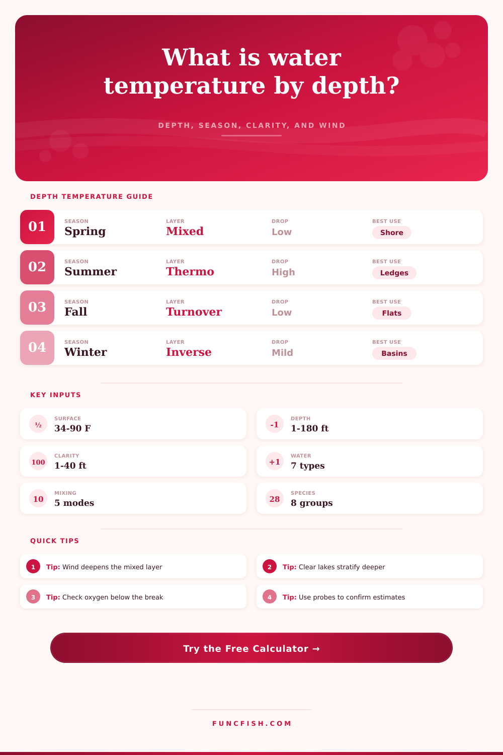
This is about stratification. This is the central idea behind the tool. Warm water isn’t as heavy as cold water. When the sun warms the surface of the water, it doesn’t mix equally, instead, it simply lays on top. This creates a definite boundary called the thermocline. From there, the water temperature plummet with each passing foot below the line.
How Water Temperature Helps You Find Fish
Not all waters are created equal. You may have a shallow farm pond that’ll warm from top to bottom on a Tuesday afternoon, while a deep, clear reservoir will retain winter-cold water through the lower layers well into August. To account for this structure, the tool asks you to input your waterbody’s profile. Based off your input, it knows how far down heat will go before bumping into that thermal barrier.
This is where clarity comes into play big time. Sunlight goes farther in clear water which also warms the water column deeper, driving the thermocline even lower. Turbid/murky water sees the heat confined to the top couple of feet, resulting in a very shallow mixed layer. So if you’re fishing a crystal-clear quarry, don’t assume the thermocline will be sitting at fifteen feet as it may in a weedy lake. You’ve got to factor transparency and that’s why Secchi depth input is so important. It informs the model how deep solar energy travel before being absorbed.
The wildcard that throws the textbook-like layering out the window is wind. On a calm day, you get a nice, crisp, hard thermocline. And you have a clear barrier that acts as a ceiling for predator and baitfish. But when wind events last for days, it mixes up the top layers, blurring that gradient and pushing that warmth deeper into the water column. This can result in a ten foot bank staying colder than the rest of the lake or a fifteen-foot ledge feeling warmer then normal. The tool has a mix mode selector which is an attempt to model this turbulent nature. A storm front can mess with all of your depth assumptions within hours.
All of those physical factors gets tied back into species preference. In one lake the bass may be chasing around the weed line in seventy degree water while trout lie hidden closer to the bottom in fifty five degree water. Where does your target species’ comfort zone overlap with the expected temperature profile? That’s what the calculator considers. It will give you a score depending on if the depth you’re considering falls inside the thermal window where that fish is most likely to be active. So it can help you determine whether to go target the shallow flats, or drop down deep into the main basin.
Then there’s the seasonal rhythm to account for as well. When the lake overturns in winter, it mixes the lake and warms it all up evenly during spring warming. In summer, you get stratification into discrete layers. Then fall turnover breaks up the layers, so fish wander around rather than staying in one thermal layer making them difficult to find. And then there’s winter: inverted stratification, with the warmest portion of the lake being right at the bottom, about thirty-nine degrees deep. Depending on what season you choose, the tool adapts its reasoning to match. The lake behave differently depending on the time of year.
So in conclusion, this does work, but it’s meant to be a planning tool, not a substitute for what you see on the water. Lakes change conditions from end-to-end, and micro climates develop due to local inflows that can throw the whole moddern model out the window. Take the output for where to start your casts and tweak from there according to what you’re seeing on your fish finder and sonar. Remember, it takes some of the guessing away. You could of wasted less time blindly fishing and find more time putting your bait right in front of fish that are actualy comfortable with it.