GPS Waypoint Distance Calculator
Measure distance, initial bearing, magnetic course, current-adjusted travel time, drift offset, and round-trip range between two fishing waypoints.
📌Fishing route presets
⚙Waypoint settings
Waypoint route forecast
Full breakdown
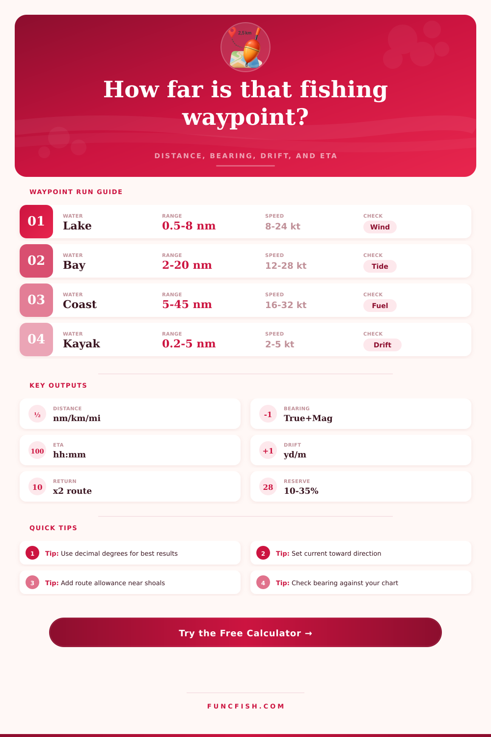
📋Navigation profile reference
Kayak
Jon Boat
Bass Boat
Offshore
| Water type | Route allowance | Current input | Typical planning note |
|---|---|---|---|
| Lake / reservoir | 0-10% | 0-0.5 kt | Wind drift matters more than tide |
| River | 10-25% | 0.5-4 kt | Use the downstream direction as current toward |
| Bay / estuary | 5-18% | 0.3-3 kt | Channel bends can add distance quickly |
| Nearshore coast | 10-25% | 0.2-2 kt | Give shoals and surf lines extra clearance |
| Offshore | 18-35% | 0.5-3 kt | Reserve planning is as important as distance |
| Kayak / paddle | 10-30% | 0.2-1.5 kt | Small current changes can dominate ETA |
| Output | Formula basis | Imperial display | Metric display |
|---|---|---|---|
| Direct distance | Haversine sphere | Nautical miles / miles | Kilometers |
| Initial bearing | Great-circle azimuth | Degrees true / magnetic | Degrees true / magnetic |
| Adjusted route | Distance plus allowance | Nautical miles | Kilometers |
| ETA | Course speed plus current | Hours and minutes | Hours and minutes |
| Side drift | Cross-current over time | Yards | Meters |
| Round trip | Adjusted route x 2 | Nautical miles | Kilometers |
💡Practical checks
Tip: Enter current direction as the direction water is moving toward, not where it is coming from. A following current shortens ETA while a head current lengthens it.
Tip: The direct GPS line is useful for bearing, but fishing runs often need a route allowance for markers, shoals, no-wake zones, and safe turning room.
To plan a fishing trip using two GPS marks, a person must understand that the straight line between the two GPS coordinates is not necessarly the route the fishing boat will take. The water will move, and the fishing boat will drift due to that movement in the water. As a result, the route the boat will take will not necessarily be the route plotted on the nautical charts.
Such a difference in the route can result in the boat burning extra fuel or even arriving at the fishing spot later then the fisherman that owns the boat had planned for the boat to arrive. In order to remove the guesswork involved in traveling from one GPS spot to another spot while fishing, a person can use a calculator to account for various factors that influence the travel of the boat from the start to the end of the fishing trip. Such factors include the distance that will be traveled, the travel time for the boat to travel that distance, the side drift of the boat in the water, the round-trip distance that must be traveled, and how much fuel reserve the boat should have in the tank in case of certain situations after the fishing trip.
Plan a fishing trip with two GPS points
Such a calculator allows for the boat owner to account for each of these factors prior to departing from the dock. To use the calculator, a person must enter the start and end coordinates of the fishing spot that they intend to visit. These coordinates will be in the decimal degree format, as most marine chart plotters and marine apps utilize such a geographic coordinate system.
Each of these coordinates will have positive numbers for the north and east coordinates, but will have negative numbers for the south and west coordinates. The method that calculates the great circle between the two points will calculate the distance between these two points; this distance is the starting distance that will be used for calculating other factors that influence the trip. In addition to entering the start and end coordinates, the traveler must also enter factors related to the fishing trip, such as the type of water that will be fished in, and the profile of the fishing boat that will be used to reach the spot.
Factors related to the type of water include variables that describe the movement of the water, such as drift caused by the movement of the water (for example, lakes tend to have very light wind drift, but tidal areas can have a drift of one knot or more). Factors related to the type of boat include the movement of the fishing boat; for example, bass boats may move at faster speeds than kayaks, which move at slow speeds. Factors related to the speed of the boat and the current in the water must also be entered.
The speed that will be entered is the speed that the boat will travel, the speed of the current in the water will be entered, as will the direction that the current will move; the direction that the water is moving towards will be entered into the calculator, not the direction that the water is coming from on the map. These two values will help to calculate the effective speed of the boat. The route allowance for the boat will also be entered into the calculator; this route allowance takes into account the fact that the boat will not travel in a straight line between the two GPS points entered.
Factors that may require a route allowance for a boat include markers in the water, shoals, and areas in which the boat must remain a certain distance from the shore (in order to avoid damaging the shore or it’s ecosystems). An allowance of 5% may be applied to a trip over smooth waters, but 25% may be required for travel along a river or to a wreck in the water. The bearing for the boat will be entered into the calculator in addition to the travel distance.
The bearing in which the boat will travel will be entered as either true bearings or magnetic bearings. Magnetic bearings may be more convenient for the fisherman to read from the compass on the boat; the magnetic bearing may be compared to the magnetic bearing that is displayed on the boat’s instruments. The true bearings and magnetic bearings will be the same near the coasts of the country in which the calculator is available, but will differ at greater distances from the coasts.
The calculator will calculate the travel time based off the distance that the boat will travel and the speed of the boat when it travels that distance. The travel time will be displayed in hours and minutes; hours and minutes are the most useful time values for fishermen in the water, rather than decimal numbers. Additionally, because the calculator incorporates the speed and distance of the current in the water in the calculation of the travel time for the boat, the travel time that is calculated may be directly used in planning when to arrive at the fishing spot.
Another value that the calculator calculates is the side drift of the boat while it is traveling. Many people are unaware of the possibility of side drift; however, side drift is the distance that the boat will drift to one side of its course due to the current in the water. Such a drift can push a boat hundreds of yards; however, a faster boat will drift by only a few boat lengths.
The side drift can help to determine in which direction the boat must point its bow when it departs from the docks in order to travel along its intended travel course. The round-trip distance that the boat will travel is calculated by multiplying the one-way distance by two. Additionally, a certain percentage of that distance will also increase the round-trip distance; the percentage that is applied to the round-trip distance is based upon the profile of the boat that will be traveling that distance.
This percentage represents the amount of fuel that the boat skipper reserves in the fuel tank for situations outside of the trip that is to be calculated; these situations may include weather changes, or the requirement to search for the fish in different areas from the spot where they were initially spotted. Two tables are included in the calculator, which display the typical factors for each type of water in which one may fish, as well as the different types of boats that may be used to fish in those areas of the water. These tables is not rules that must be followed, but can provide context to a fisherman if he or she is not certain in which value for a certain factor to enter into the calculator.
For instance, the table that displays information about lakes will show that drift caused by the movement of the wind tends to be under half a knot in speed. Additionally, the table that displays information about offshore fishing spots will indicate that route allowances of 25% are common in these areas. The calculator that is provided may provide a solid starting point for those who wish to plan fishing trips.
However, there are other factors related to the fishing trip that the calculator cannot account for; factors like fuel burn for the boat, or local knowledge about specific reefs or areas in the water may be more important to those fishermen than the calculations performed by this calculator. Nevertheless, the trip may be planned by checking each of the factors that the calculator calculates prior to starting the fishing boats engine.